

Saco River Covered Bridge: History and How to Visit
The Saco River Covered Bridge in Conway has survived floods, outlasted the bridges before it, and still carries cars more than a century after it was built in 1890. It's one of the classic New England scenes in the Mount Washington Valley, and it's an easy stop whether you're driving, walking, or floating right underneath it.
Here's the short version of its history, how to visit, the best times for photos, and why the view from the river might be the best one of all.
TLDR
- The Saco River Covered Bridge is a two-span bridge in Conway built in 1890, and it still carries traffic.
- It's the third bridge on the site, after an 1869 flood swept an earlier bridge downstream.
- Davis Park sits beside the bridge, with a river beach and room to take photos.
- The pedestrian-only Swift River Covered Bridge is just a short walk away.
- The Covered Bridge Float lets you see the bridge from the water, but water shoes are mandatory.
- Fall foliage is the most popular time to visit, so expect company in October.
- Several more covered bridges are within an easy drive, from Albany to Jackson to Fryeburg.
Where the Bridge Is and What It Looks Like
The bridge spans the Saco River on East Side Road in Conway, a short hop from Routes 16 and 153 and only a few minutes from North Conway village. It's a two-span wooden bridge built on a Paddleford truss with added arches, a design that was popular with New England bridge builders in the 1800s. From the riverbank, you can see the two long spans resting on a stone pier in the middle of the current.
Unlike many covered bridges that now carry only walkers, this one is still a working road. It's maintained by the state and has a posted weight limit, so you'll see cars rolling through at a gentle pace. Right beside it, Davis Park is a town park with a river beach that fills with swimmers and picnickers on summer afternoons.
A Short History of the Bridge
Today's bridge is the third to stand on this site, and the story of how it got here is a good reminder of what this river can do when the mountains send down a lot of water.
The First Bridge on the Site
The first covered bridge here went up in 1850. It was built by Jacob Berry and Peter Paddleford, the New Hampshire builder whose truss design gave the style its name. For nearly two decades, it carried local traffic across the Saco in Conway.
The Flood of 1869
In the spring of 1869, floodwaters on the Swift River tore that river's covered bridge loose and sent it crashing into the Saco River bridge downstream. Both bridges were knocked off their supports and carried away. In true New England fashion, salvaged timber went back into rebuilding the Swift River bridge, which still stands nearby.
The 1890 Bridge Still Standing
The bridge you see today was built in 1890 by Charles Broughton and his son Frank, local builders who also worked on other bridges in the valley. The state restored it in the late 1980s, and it has been carrying traffic and posing for photos ever since.
How to Visit the Bridge
Visiting is easy and free. You can drive across slowly, or park nearby at Davis Park and walk down to the riverbank for the classic side view. Morning and late afternoon light tend to flatter the weathered wood, and the beach gives you a clear angle without standing in the road.
If you walk onto the bridge, remember it's an active road and stay alert for cars. For a no-traffic option, the Swift River Covered Bridge is right nearby. It was restored for pedestrian use, and it even has picnic tables inside, which is about as charming as a lunch spot gets.
See It From the River
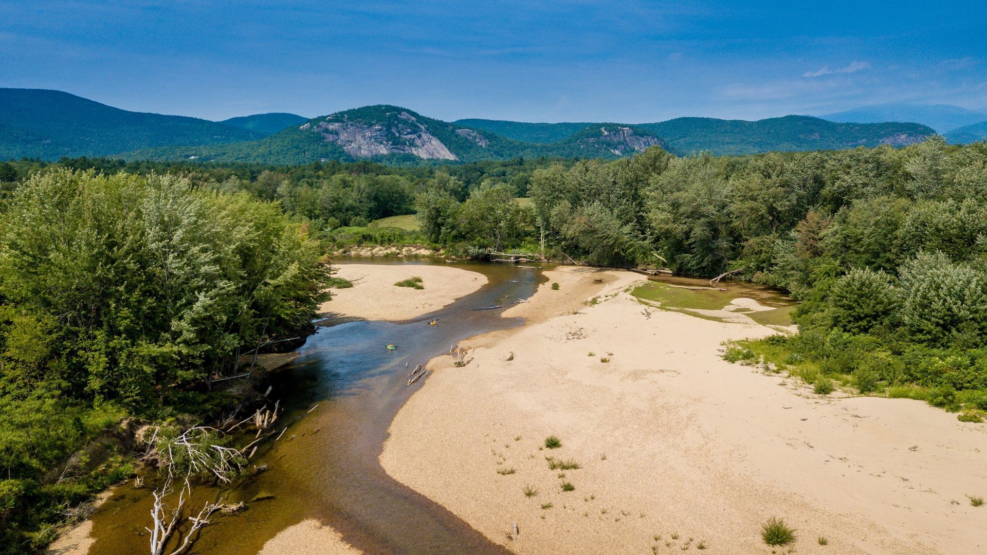
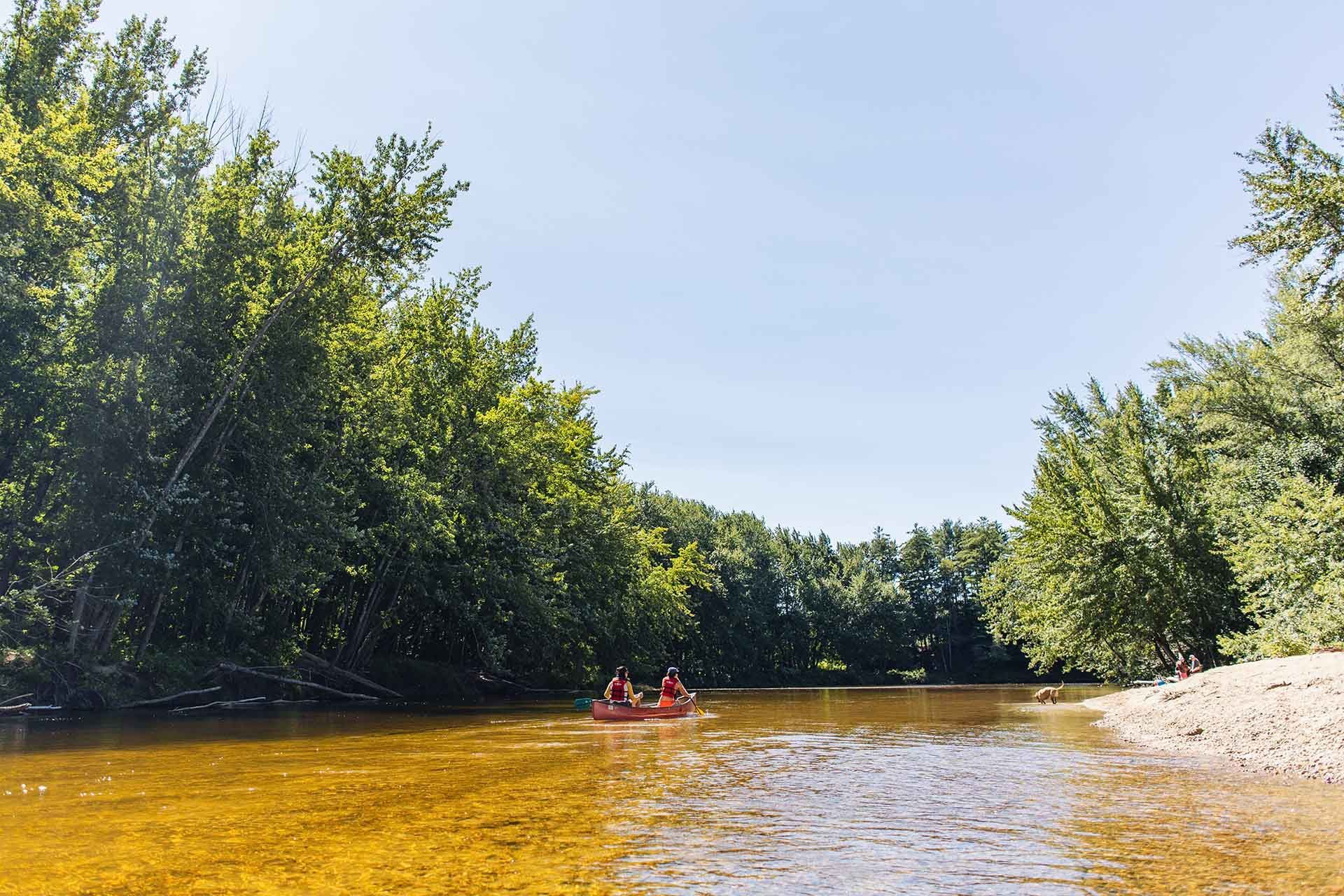
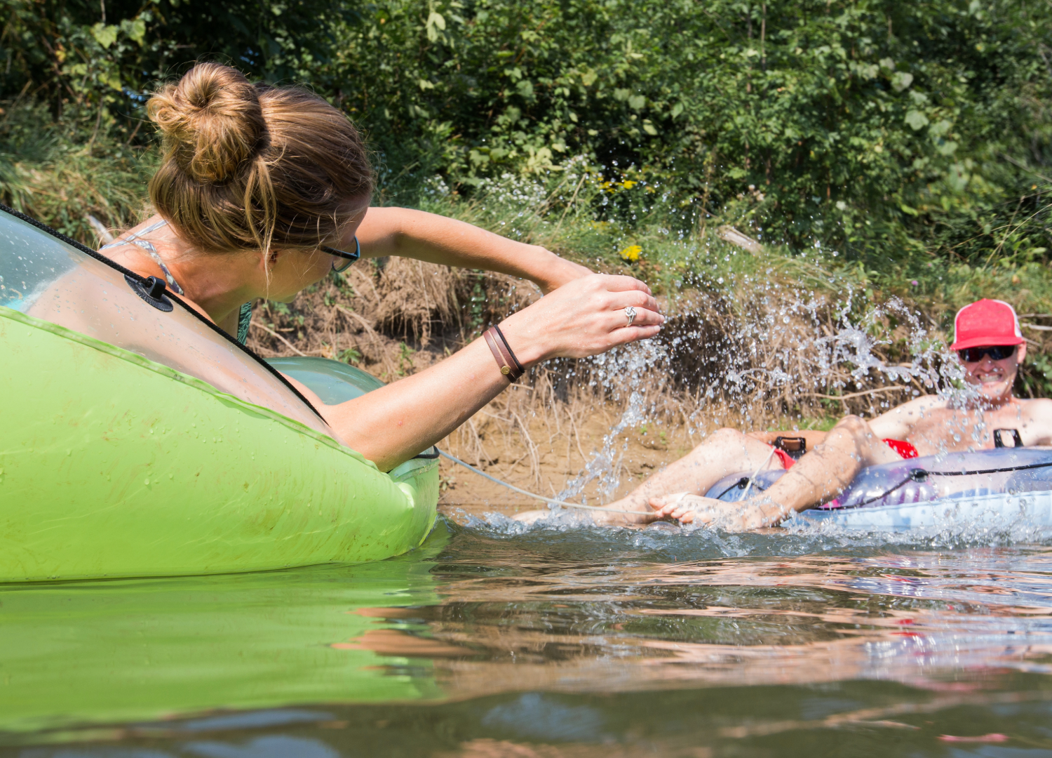
Here's the angle most visitors miss: floating toward the bridge on the Saco itself. The 3-mile Covered Bridge Float ends near the bridge, and watching it come into view around the final bends is a genuinely great moment. It's a moderate trip that usually takes three to five hours, with restrooms at the halfway point.
A few things to know before you pick it. Water shoes are mandatory, so leave the flip flops in the car. The trip suits ages 5 and up and isn't recommended for seniors, and the last 750 feet can get rocky when the water is low. To see how it stacks up against the shorter and longer trips, compare Saco River tubing trips before you book.
Plan Your Float Route
It helps to know where you're going before you're in a tube. Looking over the upper Saco River map shows the landings, the beaches, and where the covered bridge sits on the route, so nobody in your group is surprised by the length.
Keep in mind that the Saco is a natural river, not an amusement park. Levels can rise fast after rain in the White Mountains, even when the sky over Conway is perfectly blue, and there are no lifeguards anywhere on the river. Life jackets are provided to everyone, and they're required by state law for kids 12 and under.
Best Times to Visit
Fall is the bridge's big season. When the hillsides turn red and gold behind the weathered wood, it's peak postcard material, and plenty of photographers show up to prove it. Summer brings beach days at Davis Park, while a snowy winter morning gives you a quiet, frosted version of the same scene.
If you're chasing fall color, it's easy to pair the bridge with a Kancamagus Highway day trip, which starts just a few minutes away. The Albany Covered Bridge sits just off the Kanc, so you can tick off two bridges in one afternoon.
More Covered Bridges Nearby
The Mount Washington Valley is great covered bridge country. If one isn't enough, these are all an easy drive away:
- Swift River Covered Bridge, Conway: a short walk from the Saco bridge, now pedestrian-only with picnic tables inside.
- Albany Covered Bridge: over the Swift River, just off the Kancamagus Highway west of Conway.
- Bartlett Covered Bridge, near Glen: closed to traffic for decades and now home to a gift shop.
- Jackson Honeymoon Bridge: the photogenic red bridge at the entrance to Jackson Village.
- Hemlock Covered Bridge, Fryeburg, Maine: a quiet bridge over an old channel of the Saco, just over the state line.
For more background on each one, the Mt. Washington Valley covered bridges guide is a handy reference.
Frequently Asked Questions
Can you drive across the covered bridge?
Yes. It still carries traffic and has a posted weight limit. Drive slowly and keep an eye out for people stopping to take photos.
Can you swim near the bridge?
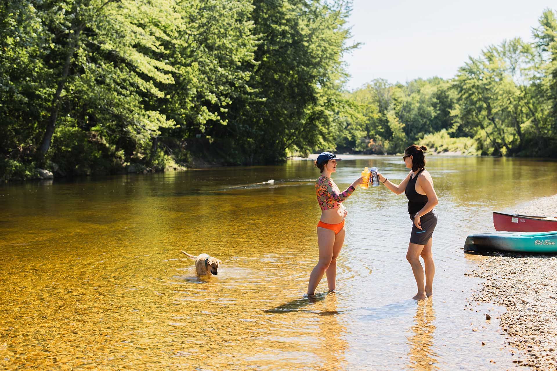
Davis Park has a popular river beach right beside the bridge. There are no lifeguards, so swim with care and keep kids within arm's reach.
Can dogs come on the Covered Bridge Float?
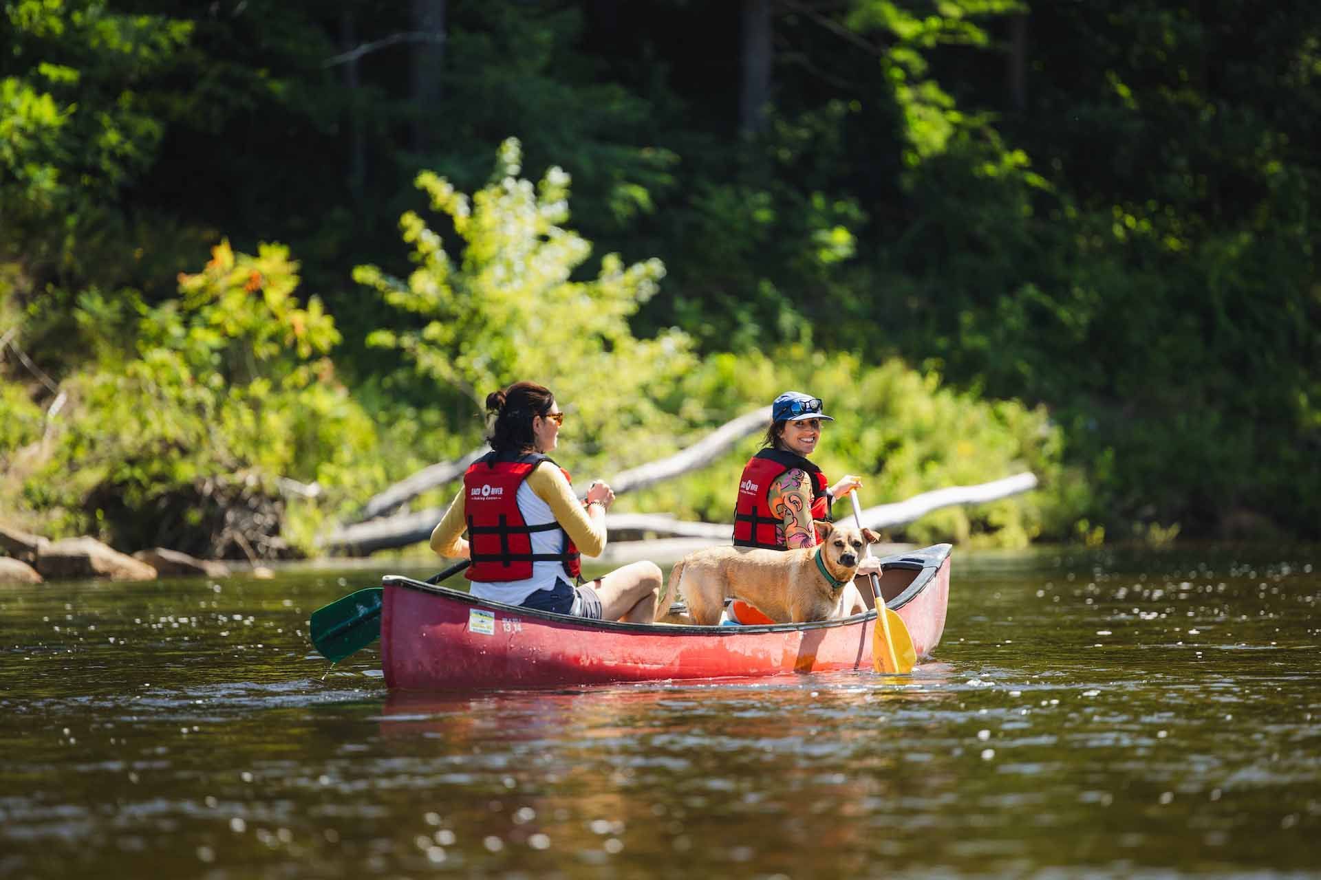
Dogs are welcome. There's a small dog shuttle fee, and every dollar of it goes to the Conway Area Humane Society.
Do I need water shoes for the float?
Yes. Water shoes are mandatory on the Covered Bridge Float, and flip flops aren't allowed. Your toes will thank you on that rocky final stretch.
Is the bridge worth seeing in winter?
Absolutely, especially with snow on the roof. River trips are seasonal, though, so check the current schedule if you're hoping to float.
Ready to Float to the Bridge?
Seeing the Saco River Covered Bridge from the road is great. Seeing it from a tube, after three miles of clear water and sandy beaches, is even better. If you have questions about the Covered Bridge Float or which trip suits your group, reach out to the Conway river crew and they'll help you plan it.